Themes & Projects
Browse
All Items
Divisions
Subjects
My Collections
Themes & Projects
About
Advanced Search
Help us improve our site.
Please take our survey
!
Digital Collections User Survey
×
Loading…
Home
Filtered search
FILTER SEARCH
Exclude Born Digital Content
DATE RANGE
to
Limit
ONLINE FORMAT
Image
120
Text
15
Folder
1
ORIGINAL FORMAT
maps
51
financial records
15
negatives
10
ORIGINAL FORMAT
×
ORIGINAL FORMAT
COUNT
maps
51
financial records
15
negatives
10
LOCATION
Bladen County (N.C.)
14
Greenville (N.C.)
11
North Carolina
8
Pitt County (N.C.)
4
Fear, Cape (N.C.)
2
South Carolina
2
Bermuda Islands
1
More
LOCATION
×
LOCATION
COUNT
Bladen County (N.C.)
14
Greenville (N.C.)
11
North Carolina
8
Pitt County (N.C.)
4
Fear, Cape (N.C.)
2
South Carolina
2
Bermuda Islands
1
Black Mingo Creek (S.C.)
1
Craven County (N.C.)
1
Elizabeth City (N.C.)
1
Kitty Hawk (N.C.)
1
Maryland
1
Perquimans County (N.C.)
1
Virginia
1
THEME/PROJECT
North Carolina Maps
Daily Reflector Images
15
Military History
6
Politics and Government
6
Military History: Marines
5
Transportation: Rail
5
Politics and Government: North Carolina
4
More
THEME/PROJECT
×
THEME/PROJECT
COUNT
North Carolina Maps
136
Daily Reflector Images
15
Military History
6
Politics and Government
6
Military History: Marines
5
Transportation: Rail
5
Politics and Government: North Carolina
4
Transportation
4
Agriculture
2
Early American History
2
Special Collections Staff Picks
2
Military History: Civil War
1
Natural Disasters
1
North Carolina History and Fiction Collection
1
Social and Family Life
1
Transportation: Auto
1
SUBJECT
Deeds--North Carolina--Bladen County
14
Land tenure--North Carolina--Bladen County
14
Greenville (N.C.)--Maps
10
North Carolina--Maps--Early works to 1800
6
Smith, Thomas
3
Cape Fear River (N.C.)--Maps
2
Cape Fear River (N.C.)--Navigation
2
More
SUBJECT
×
SUBJECT
COUNT
Deeds--North Carolina--Bladen County
14
Land tenure--North Carolina--Bladen County
14
Greenville (N.C.)--Maps
10
North Carolina--Maps--Early works to 1800
6
Smith, Thomas
3
Cape Fear River (N.C.)--Maps
2
Cape Fear River (N.C.)--Navigation
2
Drainage--North Carolina--Greenville
2
Election districts--North Carolina--Greenville--Maps
2
Fear, Cape (N.C.)--Maps
2
Herndon, William
2
McLellan, Andrew
2
Nautical charts--North Carolina--Cape Fear River
2
Pitt County (N.C.)--Maps
2
Rutherford, John
2
South Carolina--Maps--Early works to 1800
2
Tar River Watershed (Person County-Beaufort County, N.C.)--Maps
2
Atlantic Coast Lumber Company
1
Automobile parking--Law and legislation--North Carolina--Greenville
1
Battlefields--North Carolina--Maps
1
Beaufort (N.C.)--Maps--Early works to 1800
1
Bermuda Islands--Distances, etc.
1
Bermuda Islands--Maps--Early works to 1800
1
Black Mingo Creek (S.C.)--Maps
1
Boy Scouts--North Carolina--Greenville
1
Bradley, James
1
Camping--North Carolina--Greenville
1
Cities and towns--North Carolina--Maps--Early works to 1800
1
Coasts--North Carolina
1
Coasts--North Carolina--Maps--Early works to 1800
1
Conetoe Creek (N.C.)--Maps
1
Contentnea Creek (N.C.)--Maps
1
Craven County (N.C.)--Maps
1
Dare County (N.C.)--Maps
1
Deeds--North Carolina
1
Election districts--North Carolina--Greenville
1
Elizabeth City (N.C.)--Maps
1
F. Rhem and Sons Company
1
Fear, Cape (N.C.)--Maps--Early works to 1800
1
Fortification--North Carolina--Maps
1
Fryingpan Shoals (N.C.)--Maps
1
Fryingpan Shoals (N.C.)--Navigation
1
Harbors--South Carolina--Beaufort--Maps--Early works to 1800
1
Harbors--South Carolina--Charleston--Maps--Early works to 1800
1
Harnett, Cornelius, 1723-1781
1
Harrison, William
1
Kitty Hawk (N.C.)--Maps
1
Kiwanis International
1
Land tenure--North Carolina
1
Land tenure--South Carolina
1
Landowners--North Carolina--Craven County
1
Landowners--North Carolina--Maps--Early works to 1800
1
Marine Corps Air Station Cherry Point (N.C.)--Maps
1
Maryland--Maps--Early works to 1800
1
McCollum, Daniel
1
Nautical charts--North Carolina--Fryingpan Shoals
1
North Carolina--Administrative and political divisions--Maps--Early works to 1800
1
North Carolina--History--Civil War, 1861-1865
1
North Carolina--Maps
1
Ocracoke Inlet (N.C.)--Maps--Early works to 1800
1
Perquimans County (N.C.)--Maps
1
Real property--North Carolina--Craven County--Maps
1
Roads--North Carolina--Pitt County
1
Roanoke Island (N.C.)--Distances, etc.
1
Sea Islands--Maps--Early works to 1800
1
Singletary, Thomson
1
South Carolina--Administrative and political divisions--Maps--Early works to 1800
1
Spaight, Richard Dobbs, 1758-1802
1
Streets--North Carolina--Greenville
1
Swann, Samuel, 1704-1774
1
U.S. Coast and Geodetic Survey
1
United States--History--Civil War, 1861-1865--Campaigns
1
Urban renewal--North Carolina--Greenville
1
Virginia--Maps--Early works to 1800
1
White, William, -1811
1
DIVISION
East Carolina Manuscript Collection
53
Joyner NC Maps
14
Special Collections Maps
2
Joyner NC Maps Oversize
1
Joyner NC Rare
1
Joyner NC Stacks
1
Joyner Rare
1
More
DIVISION
×
DIVISION
COUNT
East Carolina Manuscript Collection
53
Joyner NC Maps
14
Special Collections Maps
2
Joyner NC Maps Oversize
1
Joyner NC Rare
1
Joyner NC Stacks
1
Joyner Rare
1
University Archives
1
Filters
Search Results
136 results found for:
local_id:0741-b25-fa-v25.a.47(b)*
Theme/Project:
North Carolina Maps
Sort by:
Relevance
Date Digitized
Date Created
View all
North Carolina Maps
material.
Currently viewing items 41 - 80
Previous
PAGE
OF 4
Next
Partie meridionale de la Louisiane, avec la Florid...
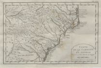
Carte de la Caroline et Georgie pour servir a l'hi...
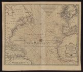
New & accurate chart of the Western or Atlantic Oc...
Map of the British empire in America with the Fren...
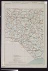
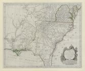
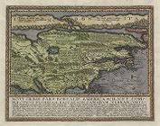
Virginia, Marylandia et Carolina in America Septen...
Virginiae partis australis, et Floridae partis ori...
Virginiae partis australis, et Floridae partis ori...
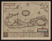
Mappa Aestivarum Insularum alias Barmudas dictarum...
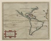
Americæ sive Indiæ occidentalis tabula generalis
Novi orbis pars borealis, America scilicet complec...
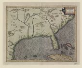
Florida et Apalche
City map of Roanoke Rapids, North Carolina : inclu...
Winston-Salem, North Carolina
Map of Wilmington Presbytery
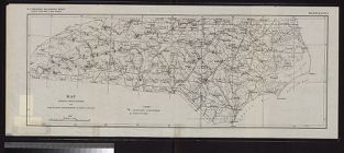
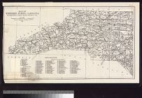
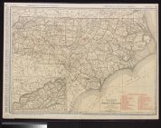
Standard map of North Carolina
Literary map of North Carolina prepared by the Lit...
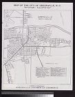
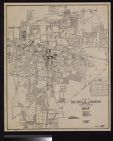
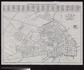
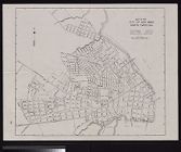
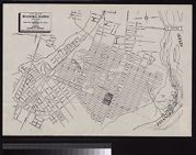
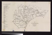
Map of the city of Greenville, N.C. : our Greenvil...
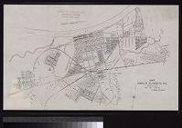
Map town of Plymouth, N.C., showing city limits /W...
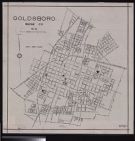
Goldsboro, Wayne Co., N.C.
Burlington, North Carolina the ideal industrial ce...
City map of Roanoke Rapids, North Carolina includi...
Map of the town of Asheboro, North Carolina, chart...
Street map of Shelby, North Carolina drawn by Dean...
Map of the city of New Bern, North Carolina prepar...
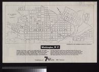
Washington, N.C. distributed by the Washington Cha...
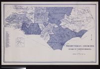
Presbyterian churches Synod of North Carolina ; W....
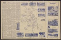
Presenting your city map of Fayetteville, North Ca...
Rocky Mount, North Carolina Rocky Mount, the large...
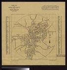
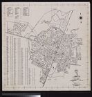
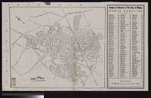
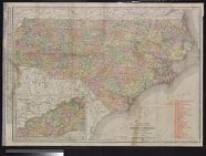
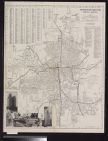
City of Greenville, Pitt County, North Carolina.
Map of the city of New Bern, North Carolina drawn ...
German pioneer settlers, lower Rowan County by D.A...
City of Wilson, North Carolina incorporated 1849.
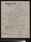
Mount Olive, N. C. / C. Beems.
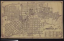
Map of Greenville, N.C.
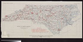
Map of North Carolina showing stream gaging statio...
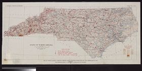
Map of North Carolina showing location of water sa...
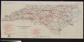
Power map of North Carolina prepared by N.C. Depar...
Map showing gaging stations and undeveloped water-...
Map of Western North Carolina showing location of ...
The Rand McNally new commercial atlas map of North...
Currently viewing items 41 - 80
Previous
PAGE
OF 4
Next

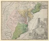
![Virginiae partis australis, et Floridae partis orientalis, interjacentiumq[ue] regionum, nova descriptio](https://digital.lib.ecu.edu/encore\ncgre000\00000011\00010393\00010393.jpg)
![Virginiae partis australis, et Floridae partis orientalis, interjacentiumq[ue] regionum nova descriptio](https://digital.lib.ecu.edu/encore\ncgre000\00000011\00010394\00010394.jpg)
![Literary map of North Carolina prepared by the Literature Committee, Mrs. Mary Wyche Mintz, chairman ; preliminary idea by Nancy Kurka ; designed by Primrose [pseud. of Mrs. Francis Paschal]](https://digital.lib.ecu.edu/encore\ncgre000\00000011\00010410\00010410.jpg)